Friday, April 5, 2013

Haida Gwaii Trip - Day 7 - Hotspring Island

*NOTE* -- I started this post back in 2010 and finished it in 2013 from memory. Surprised how many of the details came back to me while flipping through photos.

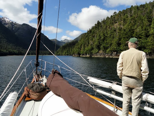
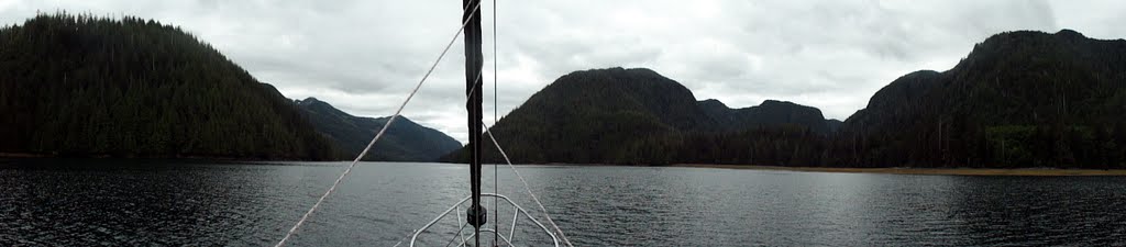
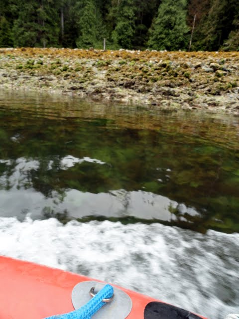
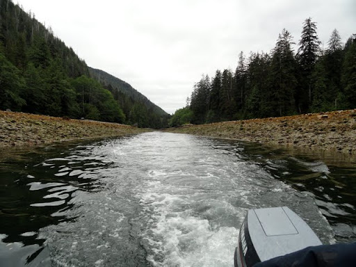
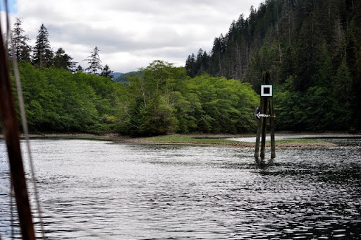
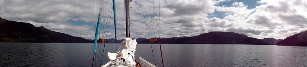
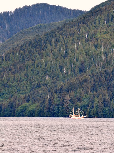
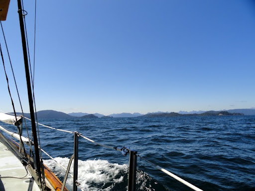
The next morning, we motored out of Cecil Cove on our way to Hotspring Island.  We made our way back out into the Hecate Strait, where we encountered some moderate swells and plenty of sunshine.  We considered stopping at the Windy Bay Haida Watchmen site, but with the NE swells, there was no good place to anchor.  Instead, we continued on to Hotspring Island.


Once we got to Hotspring Island, we called the Haida Watchmen to ask if we could come ashore, as they limit the number of people ashore at one time.  Unfortunately, there were 2 other parties already in line waiting, so we had a bit of a wait.  However, it was a pretty gorgeous sunny day out, so none of us were too concerned about the delay.

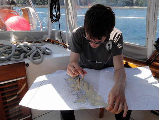
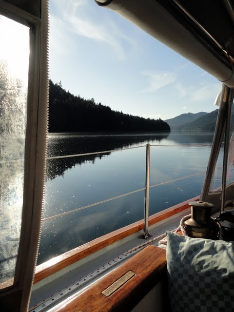
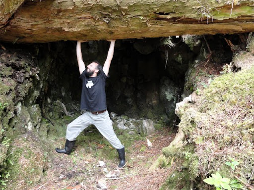
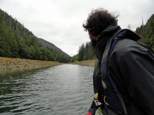
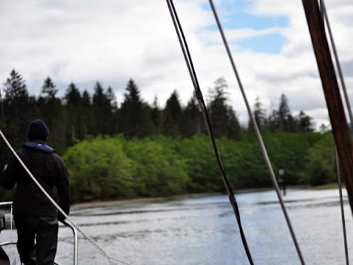
Working on my Junior Navigator merit badge

Eventually, it was our turn, so made our way to shore.  The path to the hotsprings was marked with clam shells.  Pretty neat.


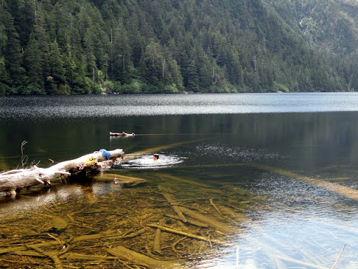
The Watchmen showed us around the area.  There were three different pools to choose from, so we of course had to try all three. First pool was inland and ridiculously hot. Second pool was down by the beach with ample opportunity to "soak until you're about to pass out then run into the freezing cold water and nearly give yourself a heart attack" (I did not partake).

Pool #2

The third pool was my favorite, perched right along a rock cliff overlooking the beach. Temperature was juuuuuust right.

Living the hard life

Beach below pool #3 looking west towards Lyell Island

The Duen dropped off a group while we were soaking

After we had thoroughly soaked ourselves, we made our way back to the Talofa. Following some semi-frantic arm waving in order to get the Captains attention from shore and a quick dinghy ride, we were aboard. 

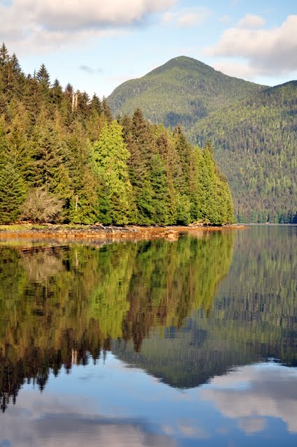
Looking back towards the springs heading west

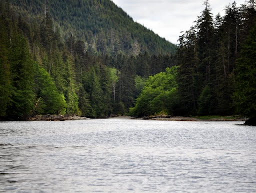
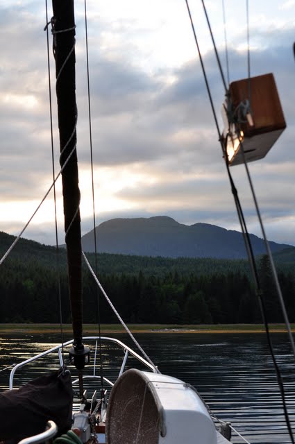
With the light fading, we decided to motor up Marshall Inlet to find an anchorage for the night. Bit over an hour later, we were firmly anchored and ready for bed. Hot tubbing wears a guy out ya know...


Anchoring by moonlight? No problem

Tuesday, April 2, 2013

Finishing this blog...2 1/2 years later


I have no idea why I never got around to finishing this blog... 

My life got pretty hectic right after the trip ended (not long after the last entry), and I suppose I just never got around to it.

Over the past 2 1/2 years, I have logged every once and awhile to reminisce about the trip. I'm amazed to see that this blog continues to get regular views. Over 4,500 in in total with people from Russia, Germany, the UK, Australia, France, the US and of course Canada. Just two days ago it got 30 pageviews! I wonder who they were...

Whenever I think about that, I say to myself: 

"I REALLY need to finish it off. All those people probably think
we sank of Haida Gwaii and were never heard from again
"

So I'm gonna do it. 

A lot has happened since the summer of 2010. Alan has moved to Terrace Hazelton. Nick and I are still in Vancouver but don't see nearly enough of each other, both busy with careers and such. None of us see Captain Speck nearly as much as we'd like. And the Talofa Lee has recently found new owners and is continuing her journey around the BC coast.

So I think in homage to all that's happened since 2010, I'm going to finish this story off...

...as best as I can remember it.


Tuesday, August 10, 2010

Haida Gwaii Trip - Day 6

After leaving Cecil Cove, we headed south through Dana Passage and then into Dana Inlet.


The sun was out and the wind was perfectly calm, creating some pretty awesome reflections on the way through the passage.


Dana Inlet

We motored our way east out of Dana Inlet, just to round a point and head west again, back up Logan Inlet.  Upon rounding the point, we officially entered the Gwaii Haanas park.

Logan Inlet

Awful scenery...

We continued east through Logan Inlet.  Our plan was to stop at Anna Inlet to have lunch and do a bit of hiking, then continue down to Echo Harbor for the night.  The entrance into Anna Inlet might has appeared narrow to us before going through Louise...

Plenty of room

Anna Inlet was a pretty gorgeous spot.  Just inside the entrance, it opened up into a nice harbor surrounded by huge mountain peaks.  Very cool.


The tour book mentioned an old hiking trail that accessed a lake about 3km from the harbor.  So Nick, Alan and I ate a quick lunch and headed ashore.  At first we couldn't find the exact trail.  Then I spotted this.


Pretty much the craziest looking tree I've ever seen.  That picture doesn't do it justice seeing it in person.  So cool. 

Note Nick at the bottom for scale

We found the trail right next to that big guy.  Apparently the trail used be used for transporting equipment and minerals from an old mine up by the lake.  At one point, there was a boardwalk going the entire distance.  However, no longer.


Pretty fun hike, clamoring along on the logs and such.  The forest was pretty awesome with moss covered trees and occasional meadows.  


Alan was enjoying himself

The trail went up a series of switchbacks, climbing up towards the lake.  Before we knew it, we were a good 400-500 feet higher than the inlet. 

That's the boat, I swear

Eventually we made it to the lake.  


It was pretty hot out, so Alan and I decided we'd go for a swim.  We tested the water along the shore and it seemed pretty pleasant temperature wise.  Alan jumped in first, after walking out to the end of that log on the left to get into deeper water.  I was still changing at the time.  

I can't properly express how hilarious his scream was as soon as he hit the water.  Apparently the water was significantly colder further out.  I looked up to see him frantically paddling back to the log.  Needless to say, my enthusiasm for swimming was somewhat affected.

Contemplating...

*Sploosh*  Ya, it was cold

Nick spent the time building a raft out of driftwood.  He claims that it actually floated with him standing on it.  However, I was looking the other way for that particular 10 seconds, so I can't confirm that.  

On the hike back from the lake, we stopped off at a little stream/waterfall.


Then Alan lifted a tree out of the way (not really) to uncover a sweet cave. 


Back at the boat, we pulled up the anchor and made the quick jump down to Echo Harbor, just to the south.  Another picturesque harbor with mountains on all sides.  We were joined by a beautiful ketch-rigged sailboat called the Duen.  Gorgeous boat.


Dinner.  Reading.  Bed.  Sleep.

Haida Gwaii Trip - Day 5

After eating breakfast in Beattie Anchorage, we decided to have a bit of an adventure and pass through the Louise Narrows, just to the SW. The Louise Narrows is a passage around the western side of Louise Island, which is...well, quite narrow (who woulda guessed?).


View Larger Map
Louise Narrows

In addition to being narrow, it's pretty damn shallow as well.  It has been dredged multiple times over the past 20 years in order to keep it passable.  Even so, at low tide, the middle point is around a foot deep.  So needless to say, you need to time the tide correctly in order to pass through.

We made our way down from Beattie through Carmichael Passage, which was described in the tour book as the "Saltwater Yosemite Valley."  Well, while it was pretty awesome, I don't know that I'd go that far.


Approaching Louise Narrows

We arrived at pretty close to low tide, so we had a bit of wait ahead of us.  We decided to take the dinghy up through the narrows to get a better idea of what we were up against.

Recon mission up the narrows

At points on our dinghy ride, were were in aboooout, 1 1/2 feet of water.  Also, as the tide was still ebbing, we were pushing against around 3 knots of current most of the way.  The outboard engine was not too happy with us at times. 

"Can you see the bottom?
Yes, I can STILL see the bottom."


After our recon, we made our way back to the boat to wait for the tides.  Something like 4-5 hours later, the narrows looked quite a bit different.

Before

After

It was go time, so in we went.  Nick was on the bow watching for rocks.  Alan was on the foredeck relaying messages from Nick.  The Captain was at the wheel, and I was in the wheelhouse reading off the depth sounder (and trying to take pictures).


Halfway through.  Good right and you're in about 6 inches of water

Well, even at high tide, we only had around 3 feet of water under our keel at a few points.  If you drifted 4 feet right or left out of the center of the channel, it got REALLY shallow in a hurry.


The exit!
Bit of a nerve racking experience, but definitely awesome.  I would do it again in heartbeat.  After the narrows, we decided to make a shorter day of it, as we were all pretty mentally exhausted from the passage.  So we made our way down to Cecil Cove, about 30 minutes south of the narrows and anchored for the night.


Anchored in Cecil Cove